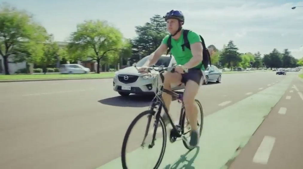
The ACT government promotes active travelling modes such as cycling as the most efficient and effective ways to incorporate regular exercise into our daily lives, reducing many long-term health risks and contributing to our mental and physical health and well being.
One barrier to more people choosing cycling for their travel needs is the perceived risk of crashes on Canberra's roads. To address this, the goal of this project is to produce a simple app, using five years' worth of Canberra crash data, that will warn cyclists when they are entering an on-road area that has seen a high number of reported crashes.
This will help encourage cyclist vigilance in "danger zones", prompting the choice to continue with care, or to consider dismounting or using shared paths nearby.
The app displays a green display during normal operation. It will play a warning tone when entering the area around a high accident zone and display a red screen with a warning. The screen will return to green and an "all clear" tone will play when the rider leaves the area surrounding the high accident zone.
Additionally, an amber screen is displayed and a different warning tone will sound when the rider enters the region around a school. This is because with school buses, parents picking up children, etc., there is likely to be congestion which could be hazardous. Again, an all clear is given when the rider leaves this area.
Screenshots area available in the Git repository.
These zones were constructed through geospatial analysis in Python (using tools like geopandas) and ArcGIS. Point locations for accidents were grouped and buffered polygons around them constructed to provide adequate warning. Similar buffer zones were created around school locations. These are stored in GeoJSON and queried by Python libraries.
While buffers were constructed in projected coordinates, the data was reprojected to WGS84 geographic coordinates to allow the app to potentially work in any geographic area.
The danger zones are stored by a web service which is accessed by the app.
While this app used data related to school locations and cyclist accidents; the design and configuration of the app means other datasets could be incorporated in future iterations for other needs. For example, using bus stop locations to provide insight into additional traffic congestion (and subsequent potential dangers) or looking at the locations of previous pedestrian incidents which could add additional weight to existing danger zones.