The project is an android app for viewing data from https://www.thelist.tas.gov.au/app/content/home.
LIST is an acronym for Land Information Services Tasmania, which is a Tasmanian State Government service that makes various spatial data available for viewing. It has a good browser based viewer that works well on desktop or laptop, but does not work so well on mobile, particularly small form-factor mobile (phones). The project is built in Android Studio using XML and Java, and performs spatial queries over HTTP to the public LIST ArcGIS REST Service, receiving JSON responses. The app parses the JSON and then draws the data (points, lines or polygons) on a Google map background which takes up a full screen in the phone. Only a relatively small spatial extent of data is typically retrieved with any individual query, partly to keep the app fairly responsive, and partly because server queries are capped to 2000 records. This can easily be exceeded for some datasets with large spatial extent queries. The app will make new requests for updated data if the screen is panned, or if the device location changes by at least 100m. The app uses the device location services to provide a map centre point for the query; that is, the spatial query is made as an envelope with the device location as the central point.
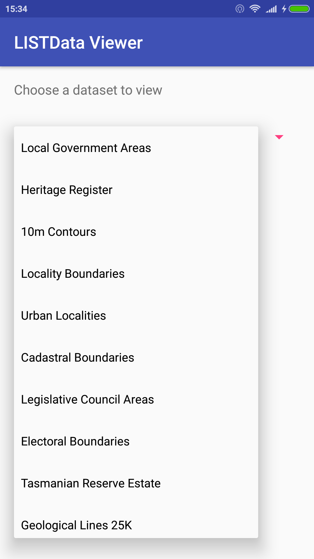
There are many many datasets available via the public LIST ArcGIS server. Currently the app is coded to be able to query 14 of these datasets, although it is very easy to add additional datasets. Each dataset has a unique set of attributes in addition the spatial information, and for the sake of brevity the app only retrieves two of these. This could be extended and is one limitation as it exists right now. No styling of the spatial data has been done; again this could be implemented if required.
The app is fully functional as displayed in the video and appears to be quite stable. The source code is available at https://github.com/rustyday/LISTDataViewer/